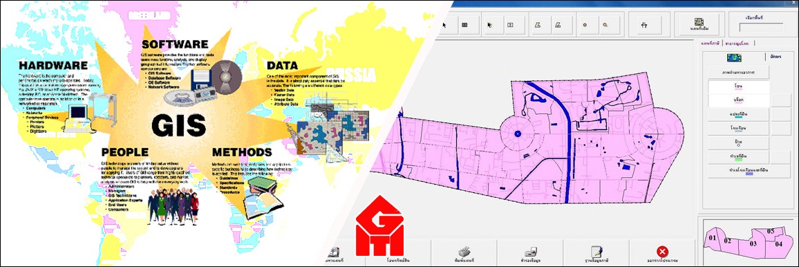
Geographic Information System (GIS) Section
GIS Database Development
Base Map Compilation from Ground Survey, Aerial Photograph and Satellite Imagery
Survey, Compilation and Preparation of Taxation, Asset Registration and Public Utilities Maps
Spatial Analysis and GIS Modeling
Development of GIS Application Software
Plotting User Scale Map (A4, A3, A1 and A0)
|
Information System Section
Application and Database development
Computer Networking
Statistical Surveying for Various Purposes such as Demographic, Scientific, Economic and Environment
|